
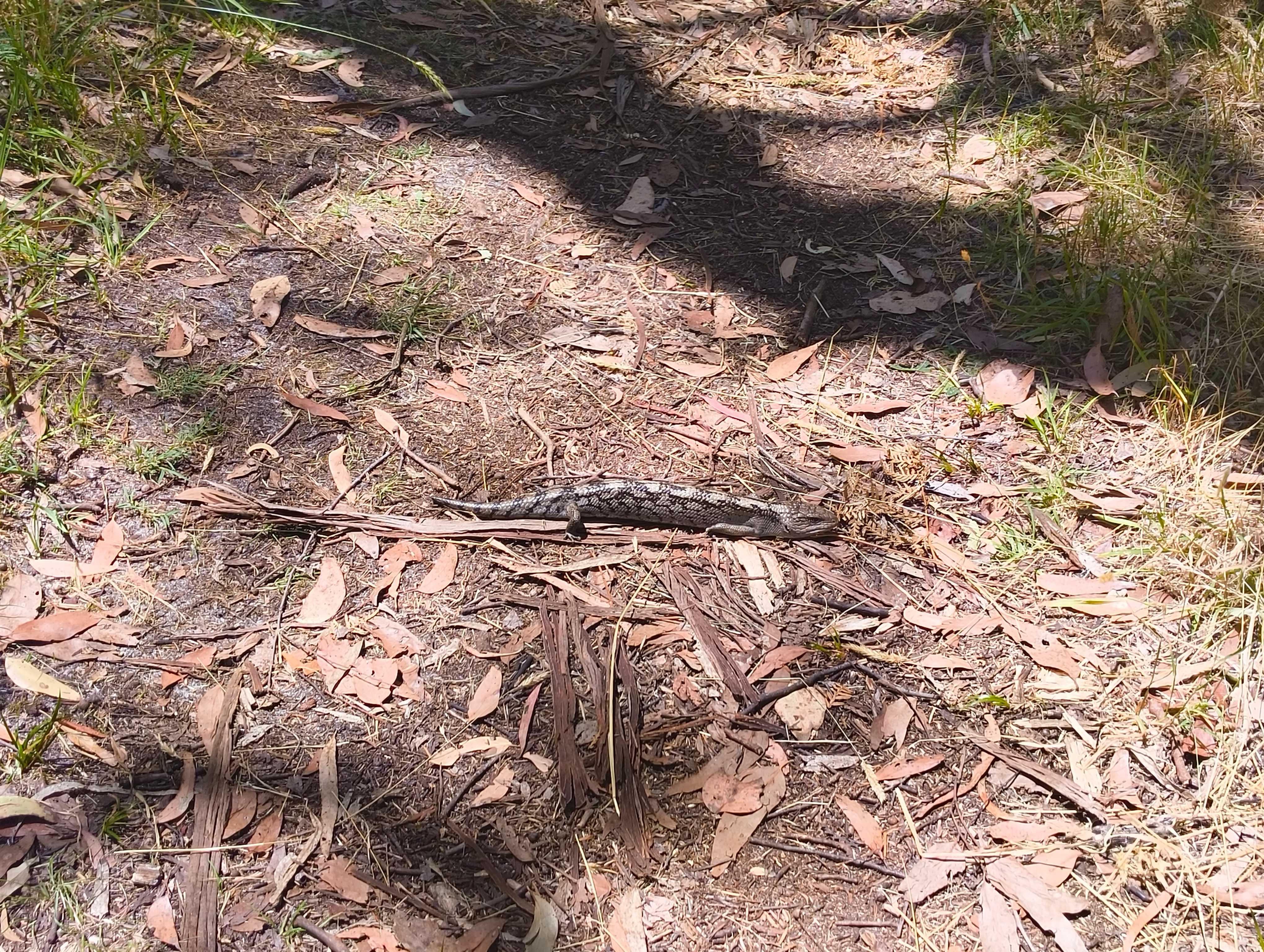
I was originally inspired to complete this walk after reading 12 Hidden Walks on The Mornington Peninsula by Michael Leeworthy. It's probably the closest walk to home I've been on, but I've often avoided Mornington Peninsula walks because I imagine windswept coastal trees or open grasslands, but this was a pleasant walk through gum forests teeming with bird and animal life. During the walk I came across parrots, blue wrens, kookaburras, leaping kangaroos, a sunbathing lizard and even a brown snake.
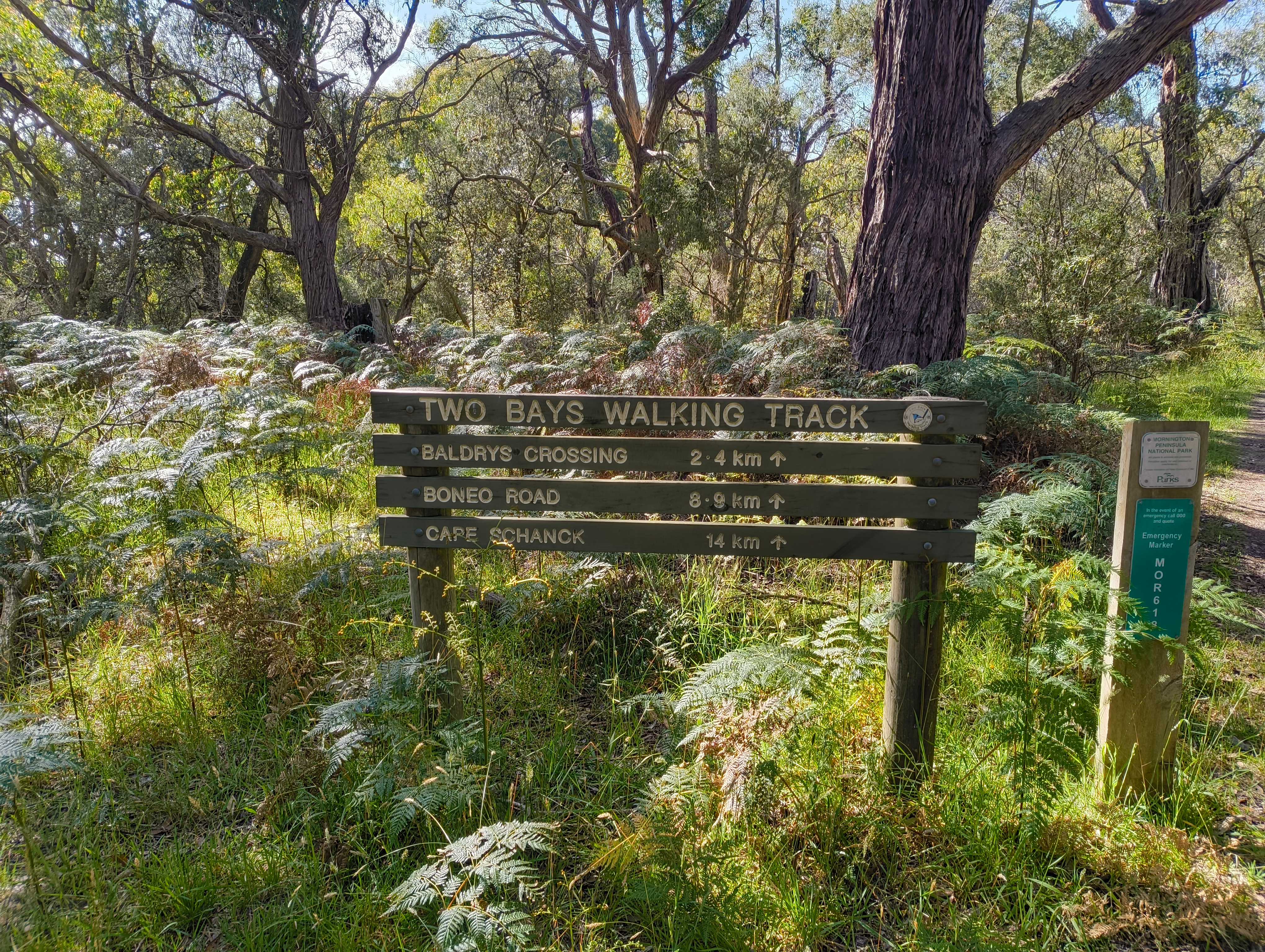
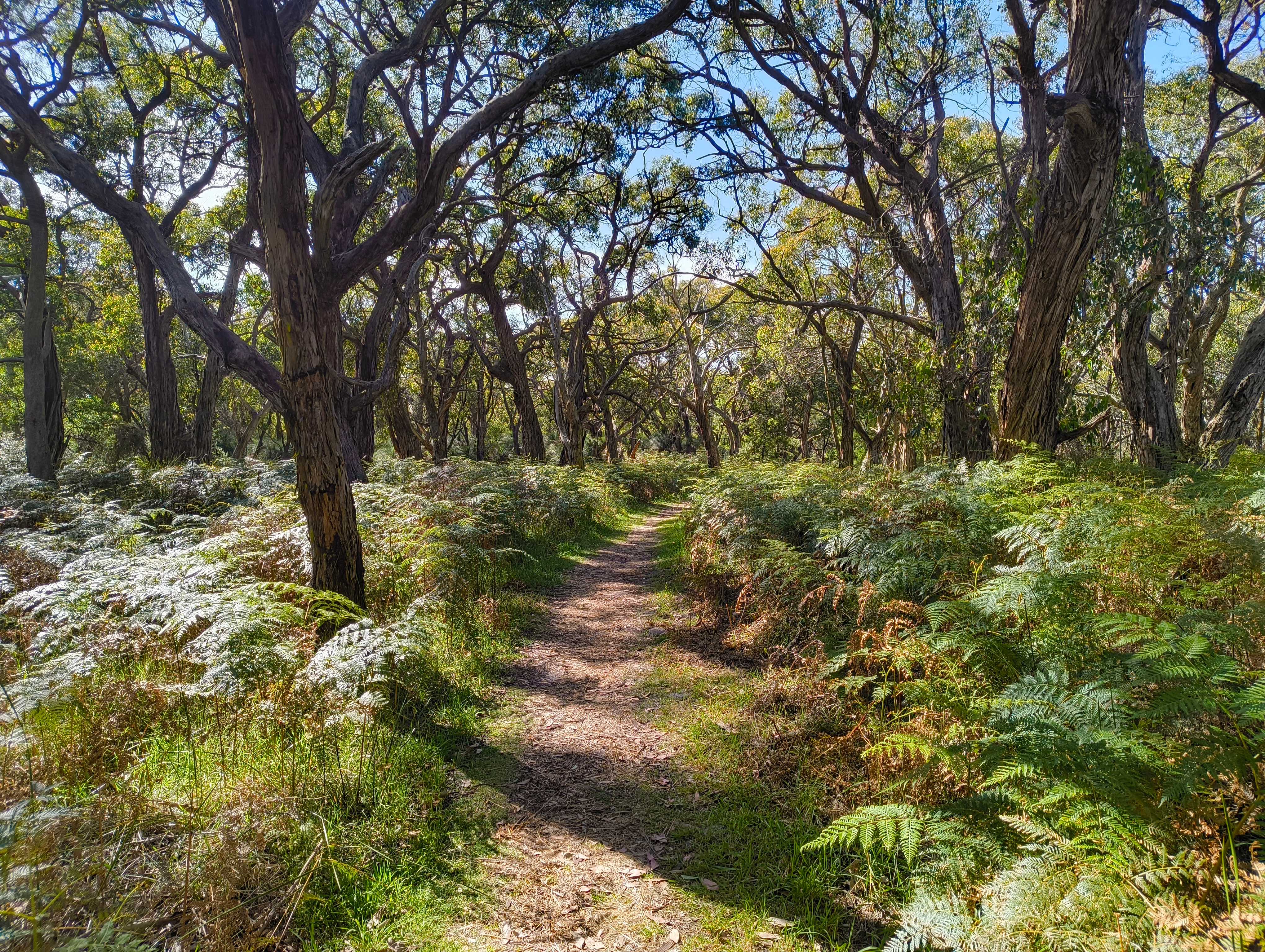
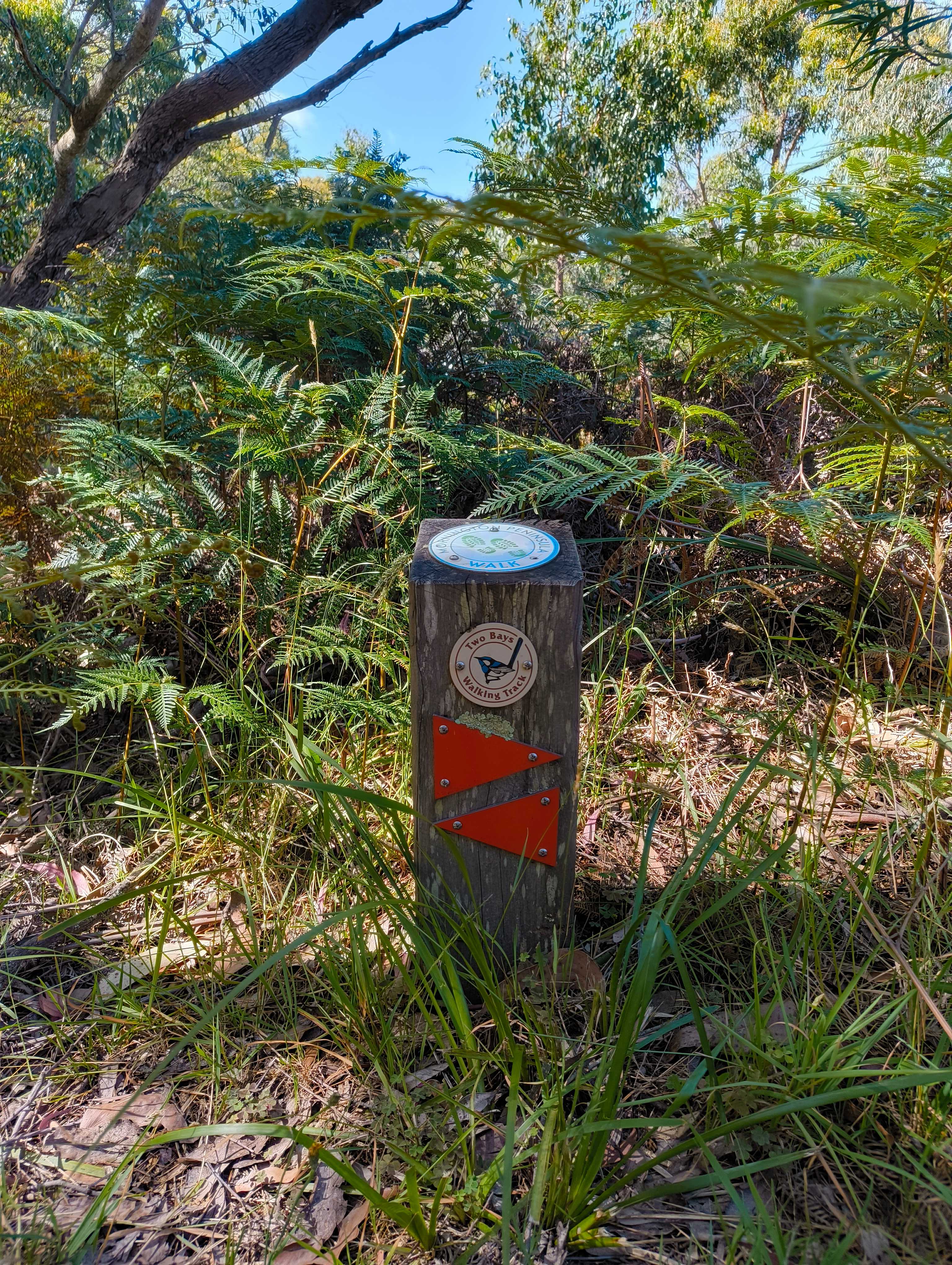
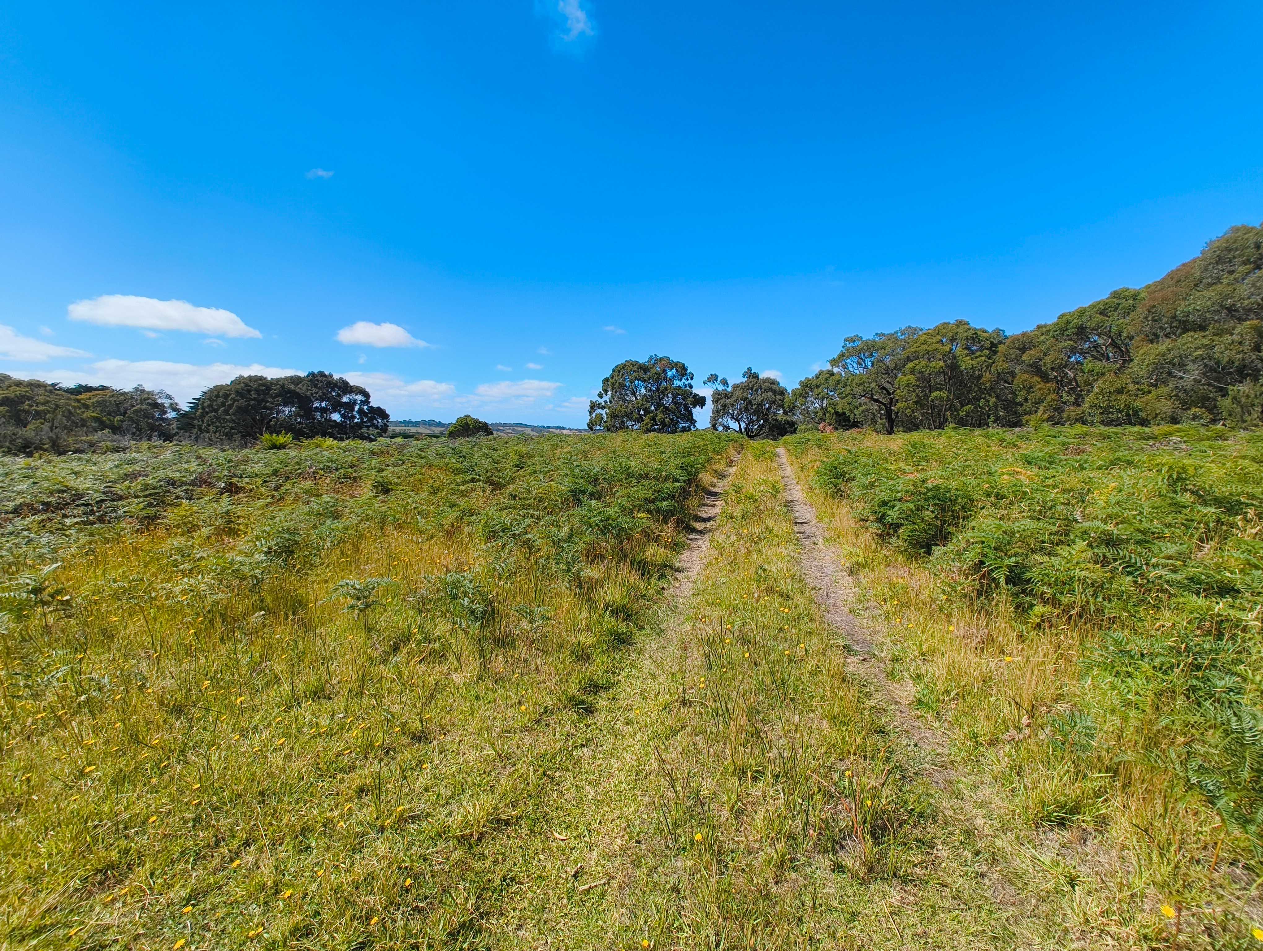
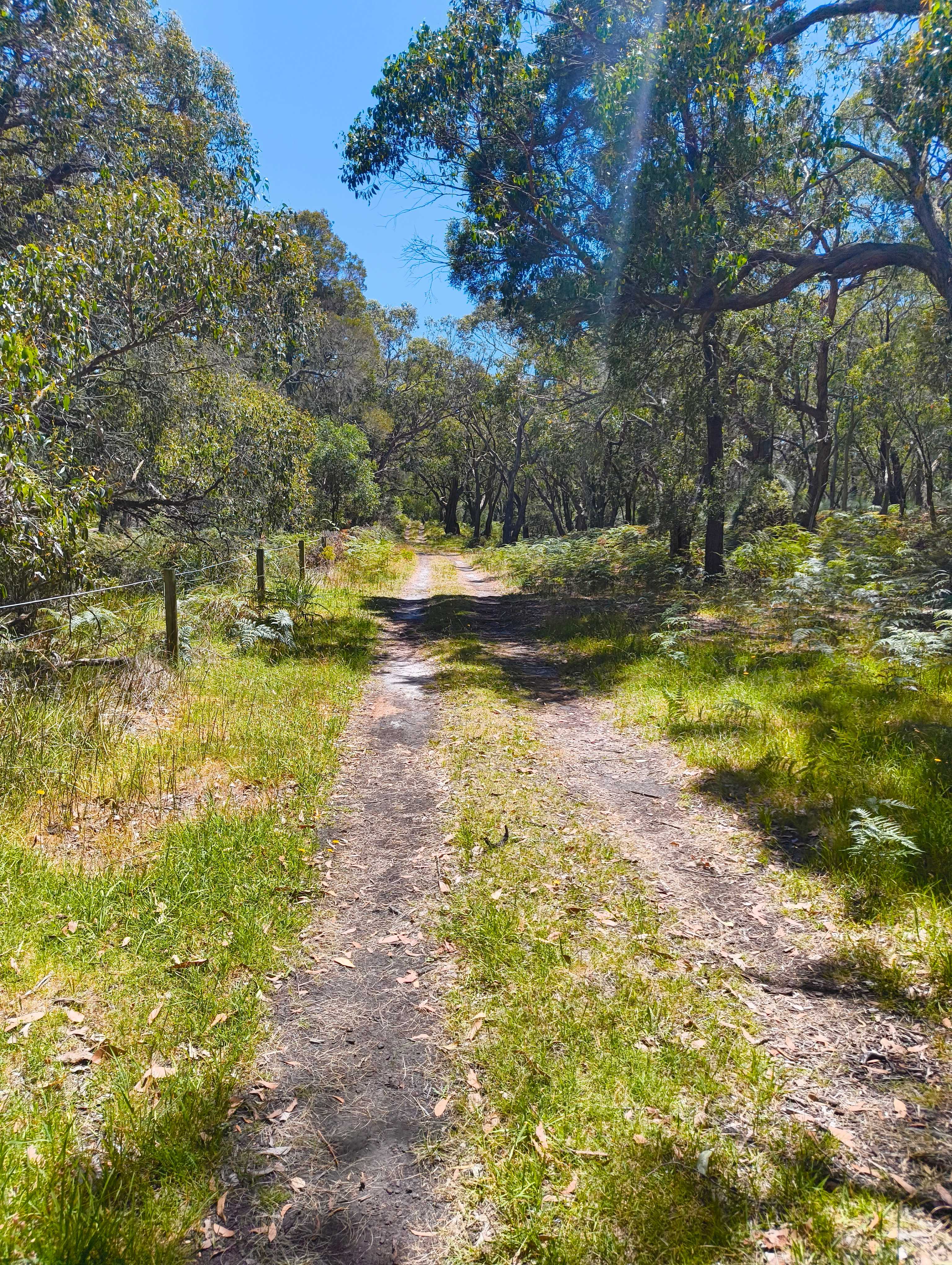
The walk starts at the end of Greens Rd, Main Ridge. Greens Rd is a dirt road popular with horse riders, cyclists, runners and walkers so it can get quite busy during holiday periods. There's a car park at the end of the road where you can pick up the Two Bays Walking Track, heading south. Follow the orange markers (or the blue wren logo). You’ll descend gently through dense bushland, passing groves of ancient grass trees with views of distant farmland peeking through the canopy.
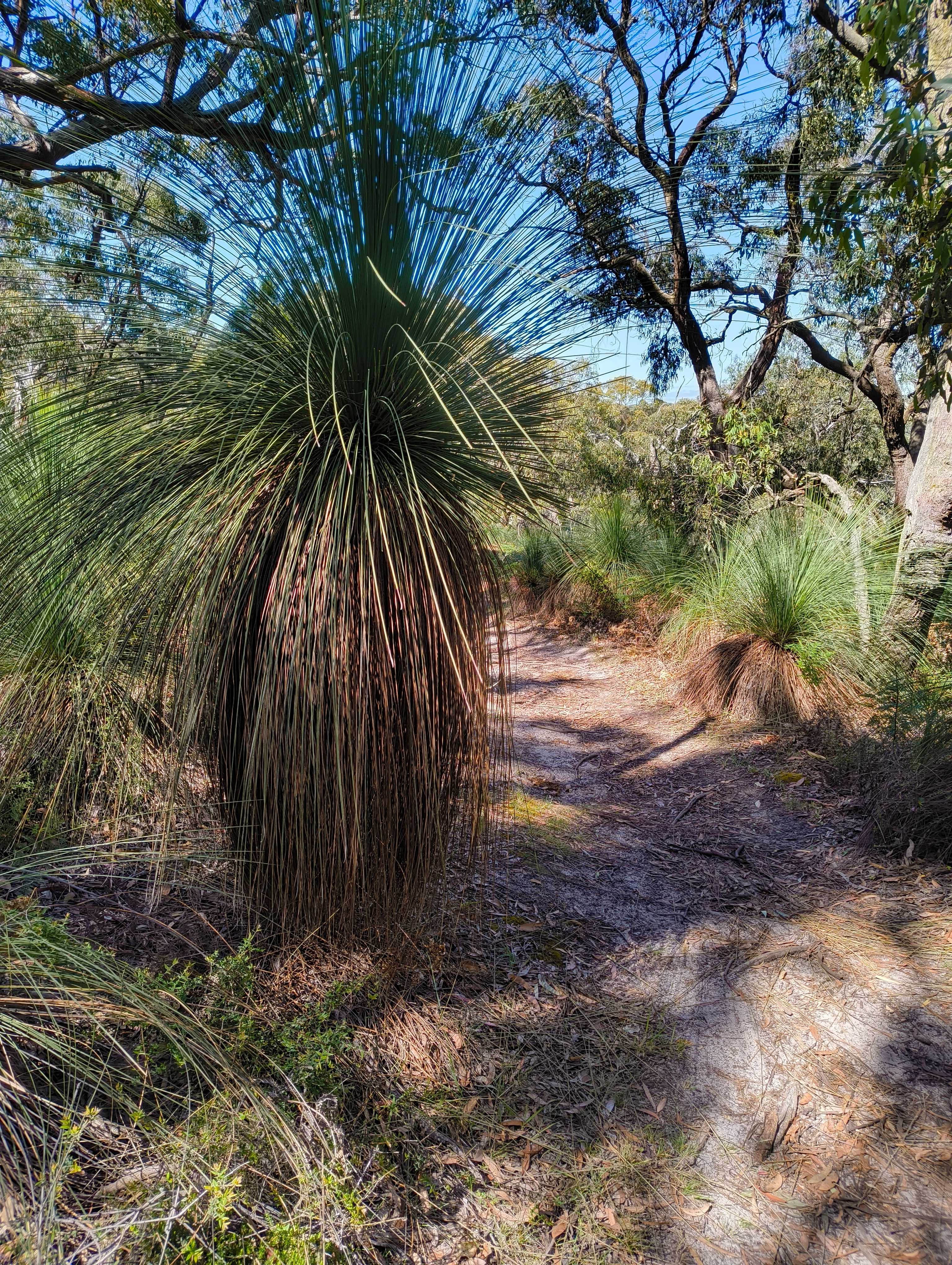
Grass trees are a native Australian plant that are extremely slow growing (growing over decades), but are hardy and drought-tolerant. Bush fires help remove dead leaves, stimulate growth and promote flowering of their iconic spikes, and they are highly sought after for indigenous gardens.
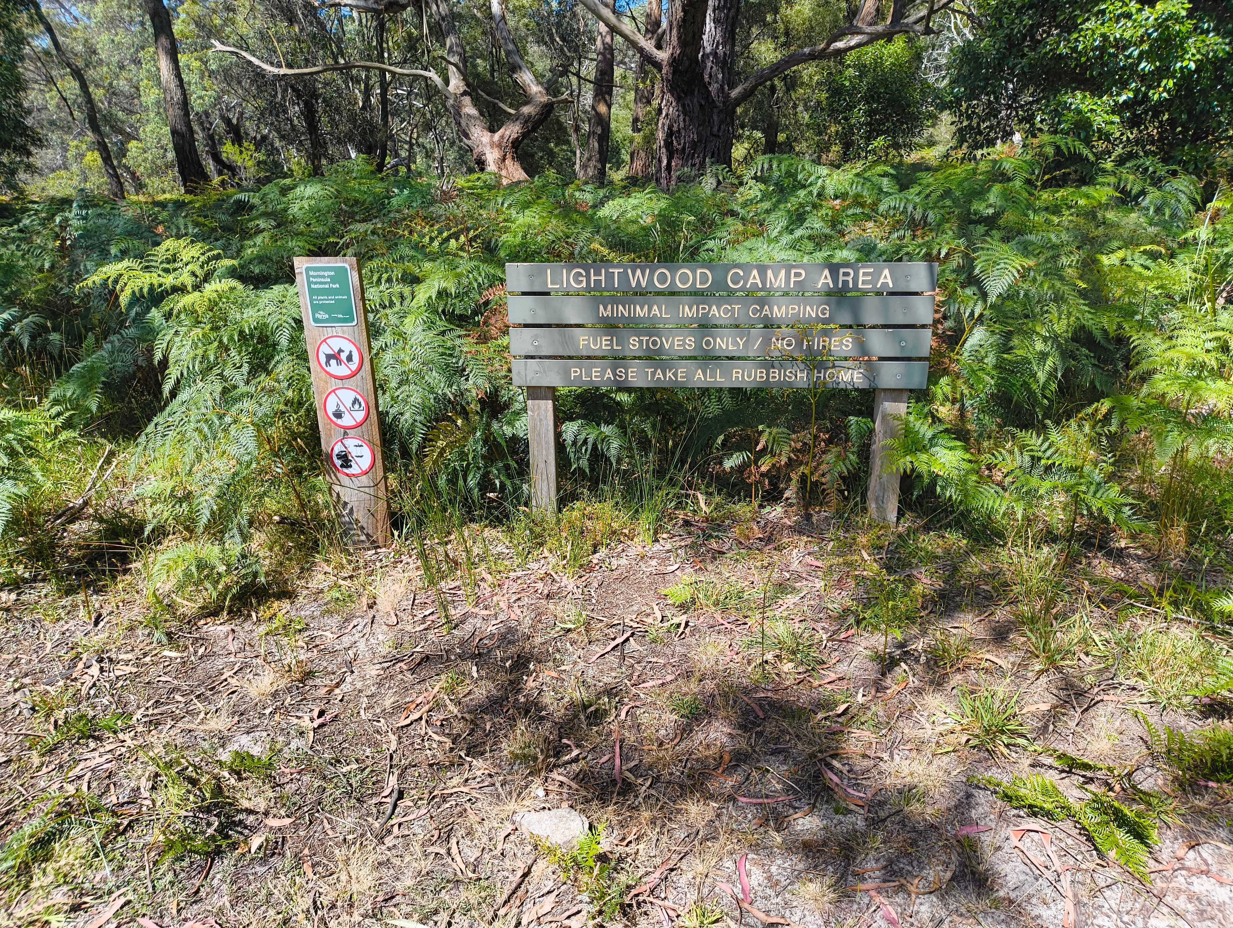
About 4.5km down the trail you'll come to the Lightwood Creek Track turn-off, if you head up the track for a few hundred meters you'll come to the Lightwood Creek Camping Area, which is a good place for a rest. There's a well-maintained drop toilet and rainwater available (treat before drinking). When you're done, retrace your steps back to the Two Bays Walking Track and continue south, past Long Point Track till you get to Long Point Circuit. Turn west onto Long Point Circuit and follow it back uphill toward Gate 1 at Rogers Rd.
Once you get to Rogers Rd, head north. In this area, Rogers Rd has long since stopped being a road, it's more of a widened dirt path as there's no vehicle access beyond Gate 2. Once you pass Gate 2 it starts being a gravel road again and you'll pass some farms and houses, but even here seeing a vehicle on the road is rare. Once you reach Gate 3, where Lightwood Creek Trail meets, you have the option to go through the gate and follow the management track that runs alongside Rogers Rd. The management track is a little more interesting than walking along the gravel road, but note that at the end where it meets Limestone Rd there's no pedestrian exit, so you'll have to climb over the locked gate to get out.
Once at Limestone Rd, turn east and follow it back towards to Greens Rd. Limestone Rd runs along the park to the south, and farmlands to the north. Follow it 1.3km until you see the signposts for the Two Bays Walking Trail again, turn south and follow this trail through the park back to Greens Rd. You should be able to follow the orange markers again as it leads down Greens Rd, back to the carpark and your ride home.
Variations
Shorter Walk (12km)
For a shorter walk, after visiting the Lightwood Creek Camping Area, continue along Lightwood Creek Tack onto Gate 3 and Rogers Rd, bypassing Long Point Circuit.
Add-on Baldry's Circuit
If you're up for a side track, take Baldry's circuit soon after starting the walk to Baldry's Crossing Picnic Area.
Resources
Greens Rd to Long Point Circuit, Main Ridge Map
Parks Victoria Page